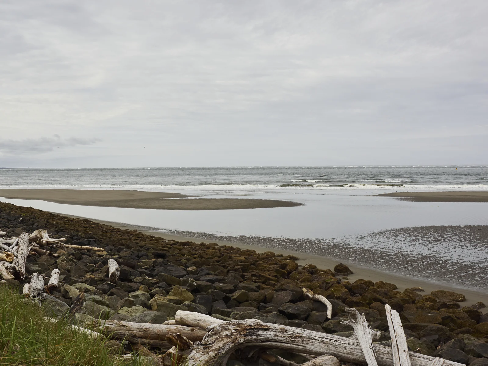
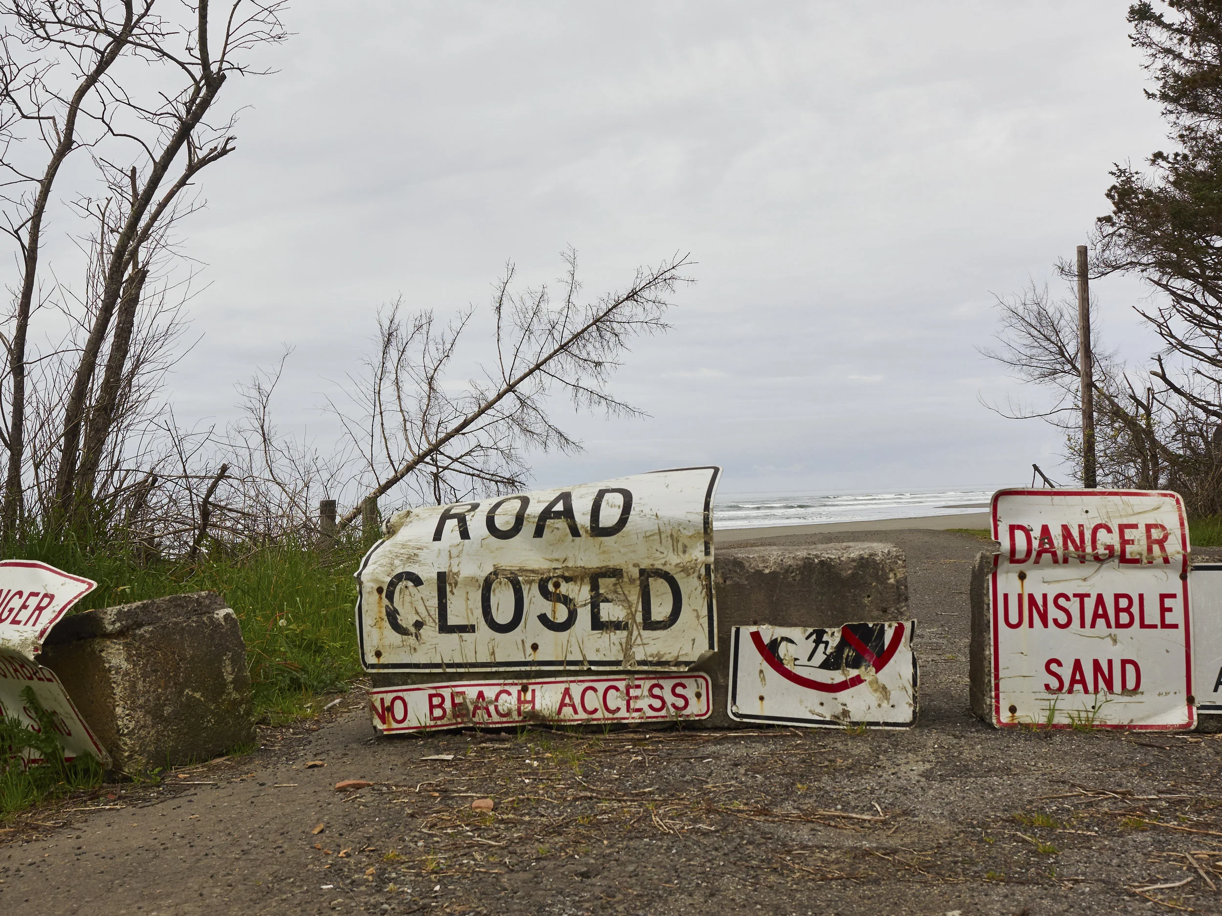
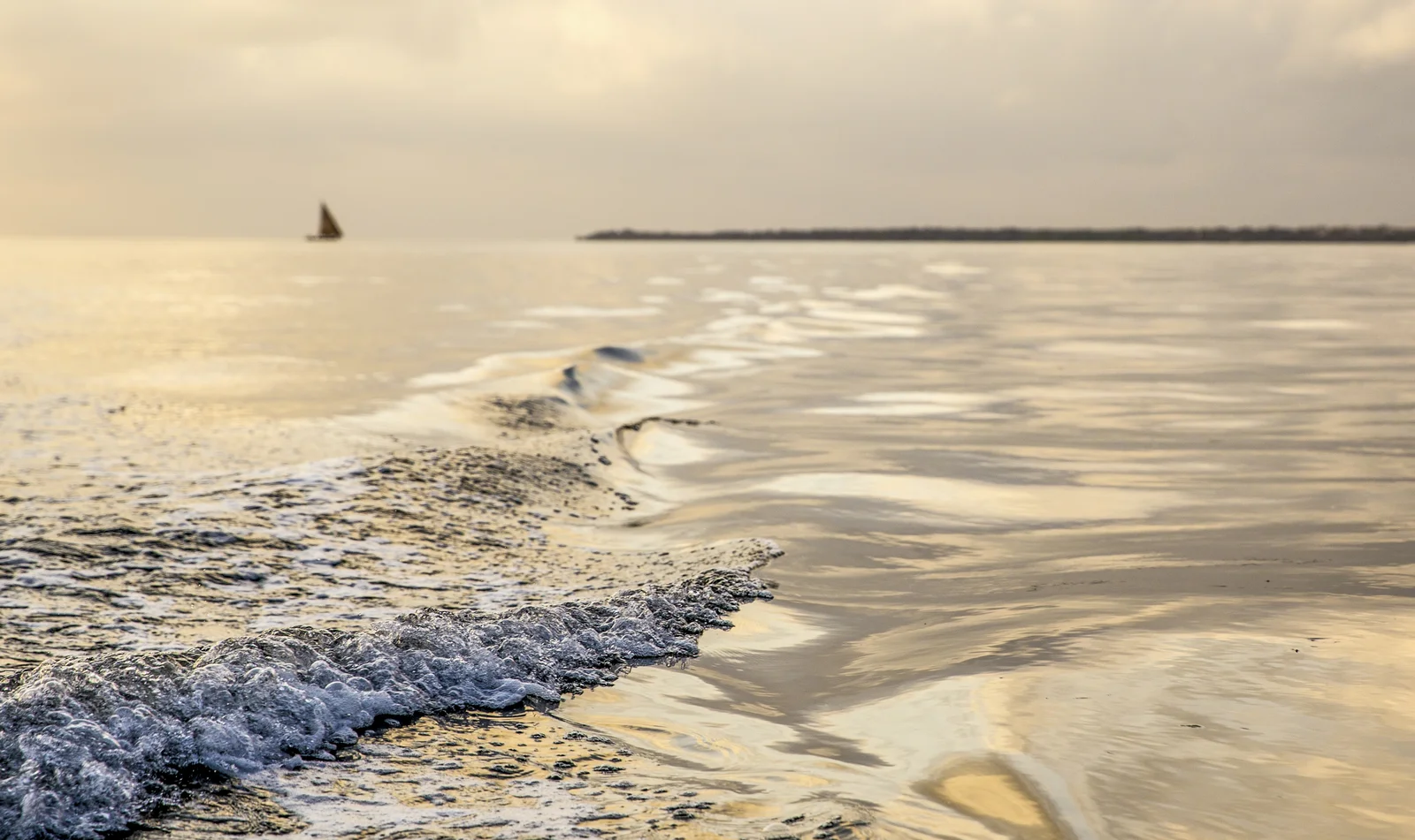
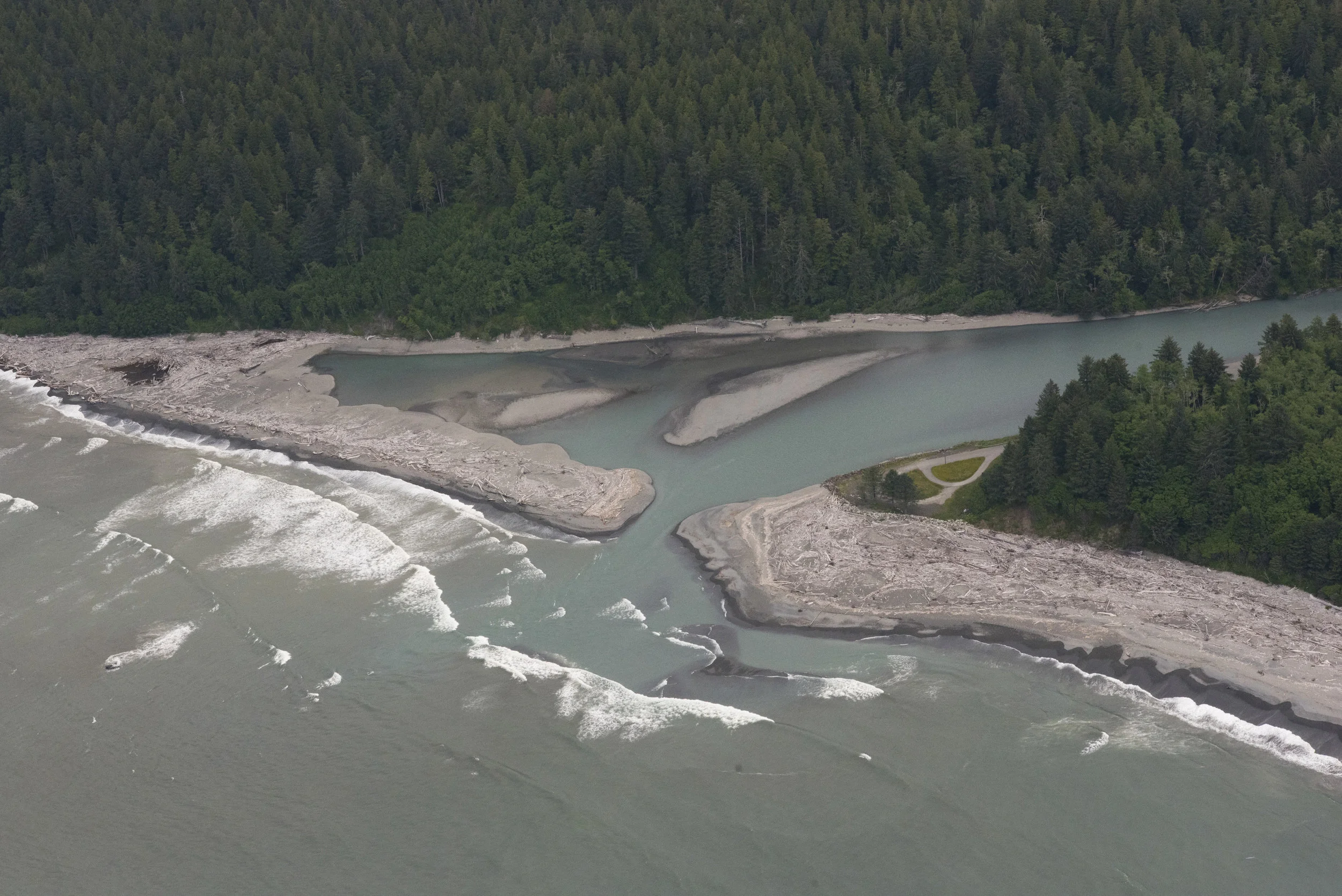
Science shows that our seas are rising. When you add this to more frequent, severe rain, it’s easy to see how coastal communities are on the front lines of climate-change impacts. What is less certain is the full extent of the growing risk as our planet warms and its oceans expand. Sea level rise is inevitable due to greenhouse gases already emitted, but longer-term estimates depend on how much we will limit future emissions. On top of these big-picture uncertainties, Washington state's complex coastline and geologic activity create more unknowns for coastal communities.
A new report led by Washington Sea Grant and the University of Washington's Climate Impacts Group provides the clearest picture yet of what to expect from rising seas along Washington. Developed through the Washington Coastal Resilience Project, it brings scientific analysis to the ground-level, aimed at informing city planners and local businesses about coming threats.
"One of the things we've heard from the planners we have shown it to so far is 'Hey, for the first time we have something that we feel is actionable,'" said first author Ian Miller, a coastal hazards specialist at Washington Sea Grant. "I hope we're going to hear that more, and that these projections will find their way into planning processes at the community scale."
Putting science into action
The report’s authors are working with local governments to incorporate these new numbers into their coastal plans, and with other state and environmental groups to consider sea level rise projections in coastal restoration projects. At The Nature Conservancy, we’re helping pair the hard science with needs at the community level. With influential community members in rural areas, we’re expanding awareness of how to develop coastal resilience. Case studies of local adaptation efforts, from home relocation to municipal drainage management, will help vulnerable communities adapt as they learn from their neighbors’ experiences.
“These technical projections translate to actual concerns on the ground, and effectively communicating the science to residents is crucial,” says Jackson Blalock, Hershman Marine Policy Fellow for The Nature Conservancy in Washington. “The numbers alone don’t lead to action. Action results when communities can make informed decisions supported by solid science to tackle their real-world priorities.”
Bridging broad-scale data with local context
The report includes projections for more than 150 different sites in Puget Sound and along the Washington coastline, from the Columbia River to Neah Bay to the Puget Sound. An interactive map allows planners to download estimates for their community.
Overall, the researchers estimate about 1.5 feet of sea level rise in Washington by 2100 if we limit future greenhouse emissions. The upper bound for 2100, with emissions reductions, is about 7 feet, incorporating the latest science on Antarctic glaciers.
Explore Our Work on Climate Change